Moolpa, New South Wales
| Moolpa New South Wales | |||||||
|---|---|---|---|---|---|---|---|
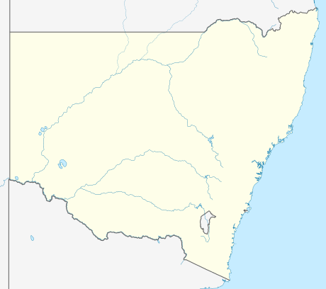  Moolpa Location in New South Wales | |||||||
| Coordinates | 34°55′S 143°45′E / 34.917°S 143.750°ECoordinates: 34°55′S 143°45′E / 34.917°S 143.750°E | ||||||
| Postcode(s) | 2733 | ||||||
| Location |
| ||||||
| LGA(s) | Murray River Council | ||||||
| County | Wakool | ||||||
| State electorate(s) | Murray | ||||||
| |||||||
Moolpa is a small rural community in the southwest part of the Riverina in New South Wales, Australia,[1] and is named after a nearby sheep and wheat station. It is situated about 13 kilometres southwest from Pereketen and 34 kilometres northwest from Moulamein by road.
Notes and references
- ↑ "Moolpa". Geographical Names Register (GNR) of NSW. Geographical Names Board of New South Wales.
 |
Wikimedia Commons has media related to Moolpa, New South Wales. |
This article is issued from Wikipedia - version of the 9/23/2016. The text is available under the Creative Commons Attribution/Share Alike but additional terms may apply for the media files.