Rennie, New South Wales
| Rennie New South Wales | |
|---|---|
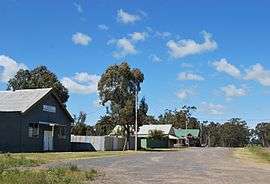 The town of Rennie | |
  Rennie | |
| Coordinates | 35°49′0″S 146°08′0″E / 35.81667°S 146.13333°ECoordinates: 35°49′0″S 146°08′0″E / 35.81667°S 146.13333°E |
| Postcode(s) | 2646 |
| Elevation | 138 m (453 ft) |
| Location | |
| LGA(s) | Federation Council |
| County | Denison |
| State electorate(s) | Albury |
| Federal Division(s) | Division of Farrer |
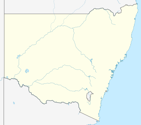
Rennie is a town community in New South Wales, Australia. It is in the south-east of the Riverina about 10 kilometres south of Savernake and 19 kilometres from Mulwala.
Rennie Post Office opened on 1 February 1937 and closed in 1989.[1]
Rennie is home to Rennie Football Club, playing in the Picola & District Football League.
Transport
Rennie is served by a broad gauge branch of the Victorian Railways which extends to Oaklands, New South Wales and has been converted to standard gauge to meet the North East Railway.
Notes
- ↑ Premier Postal History, Post Office List, retrieved 2009-06-11
External links
 Media related to Rennie, New South Wales at Wikimedia Commons

This article is issued from Wikipedia - version of the 5/18/2016. The text is available under the Creative Commons Attribution/Share Alike but additional terms may apply for the media files.