Brushwood, New South Wales
| Brushwood New South Wales | |
|---|---|
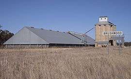 Silos at Brushwood | |
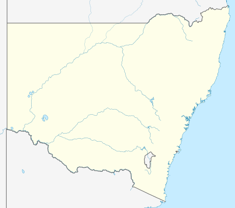  Brushwood | |
| Coordinates | 34°48′S 147°06′E / 34.800°S 147.100°ECoordinates: 34°48′S 147°06′E / 34.800°S 147.100°E |
| Location |
|
| LGA(s) | Coolamon Shire |
| County | Bourke |
| State electorate(s) | Cootamundra |
| Federal Division(s) | Division of Riverina |
Brushwood is a rural community in the central east part of the Riverina region of New South Wales, Australia.[2] It is situated by road about 6 kilometres (3.7 mi) east from Ganmain and 8 kilometres (5.0 mi) west from Coolamon.
Brushwood Railway Station Sign
Brushwood lies within the wheat farming belt of the Coolamon Shire Council and is the home of a small railway station (for the uploading of wheat and other grains) and a series of large 30-metre (98 ft) silos.
References
- ↑ Travelmate Archived March 25, 2007, at the Wayback Machine.
- ↑ "Brushwood". Geographical Names Register (GNR) of NSW. Geographical Names Board of New South Wales.
External links
 Media related to Brushwood, New South Wales at Wikimedia Commons

This article is issued from Wikipedia - version of the 11/19/2016. The text is available under the Creative Commons Attribution/Share Alike but additional terms may apply for the media files.