Walleroobie, New South Wales
| Walleroobie New South Wales | |
|---|---|
  Walleroobie | |
| Coordinates | 34°26′S 146°53′E / 34.433°S 146.883°ECoordinates: 34°26′S 146°53′E / 34.433°S 146.883°E |
| Population | 100 (2006 census)[1] |
| Postcode(s) | 2665 |
| Location |
|
| LGA(s) | Coolamon Shire Council |
| County | Bourke |
| State electorate(s) | Murrumbidgee |
| Federal Division(s) | Riverina |
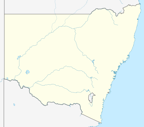
Walleroobie is a locality in the north-east part of the Riverina region of south-west New South Wales, Australia. It is situated, by road, about 15 kilometres (9.3 mi) north-east of Cowabbie and 19 kilometres (12 mi) south-east of Ardlethan.[2]
At the 2006 census, Walleroobie had a population of 100.[1]
Notes and references
 |
Wikimedia Commons has media related to Walleroobie, New South Wales. |
- 1 2 Australian Bureau of Statistics (25 October 2007). "Walleroobie (State Suburb)". 2006 Census QuickStats. Retrieved 13 February 2010.
- ↑ "Walleroobie". Geographical Names Register (GNR) of NSW. Geographical Names Board of New South Wales. Retrieved 11 August 2013.
This article is issued from Wikipedia - version of the 1/5/2015. The text is available under the Creative Commons Attribution/Share Alike but additional terms may apply for the media files.