Navesink Beach, New Jersey
| Navesink Beach, New Jersey | |
|---|---|
| Unincorporated community | |
|
Route 36 and Waterview Way looking north; the entrance to Sandy Hook is ahead | |
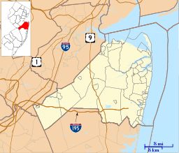  Navesink Beach, New Jersey  Navesink Beach, New Jersey  Navesink Beach, New Jersey Location of Navesink Beach in Monmouth County Inset: Location of county within the state of New Jersey | |
| Coordinates: 40°23′22″N 73°58′31″W / 40.38944°N 73.97528°WCoordinates: 40°23′22″N 73°58′31″W / 40.38944°N 73.97528°W | |
| Country |
 United States United States |
| State |
 New Jersey New Jersey |
| County | Monmouth |
| Borough | Sea Bright |
| Elevation[1] | 7 ft (2 m) |
| GNIS feature ID | 882600[1] |
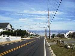
Navesink Beach is an unincorporated community located within Sea Bright in Monmouth County, New Jersey, United States.[2] It is one of the four main built-up areas of Sea Bright and is the northernmost settled area of the borough.[2] Navesink Beach is a former stop on the New Jersey Southern Railroad.[3]
References
- 1 2 "Navesink Beach". Geographic Names Information System. United States Geological Survey.
- 1 2 Google (February 27, 2015). "Navesink Beach, Sea Bright, New Jersey" (Map). Google Maps. Google. Retrieved February 27, 2015.
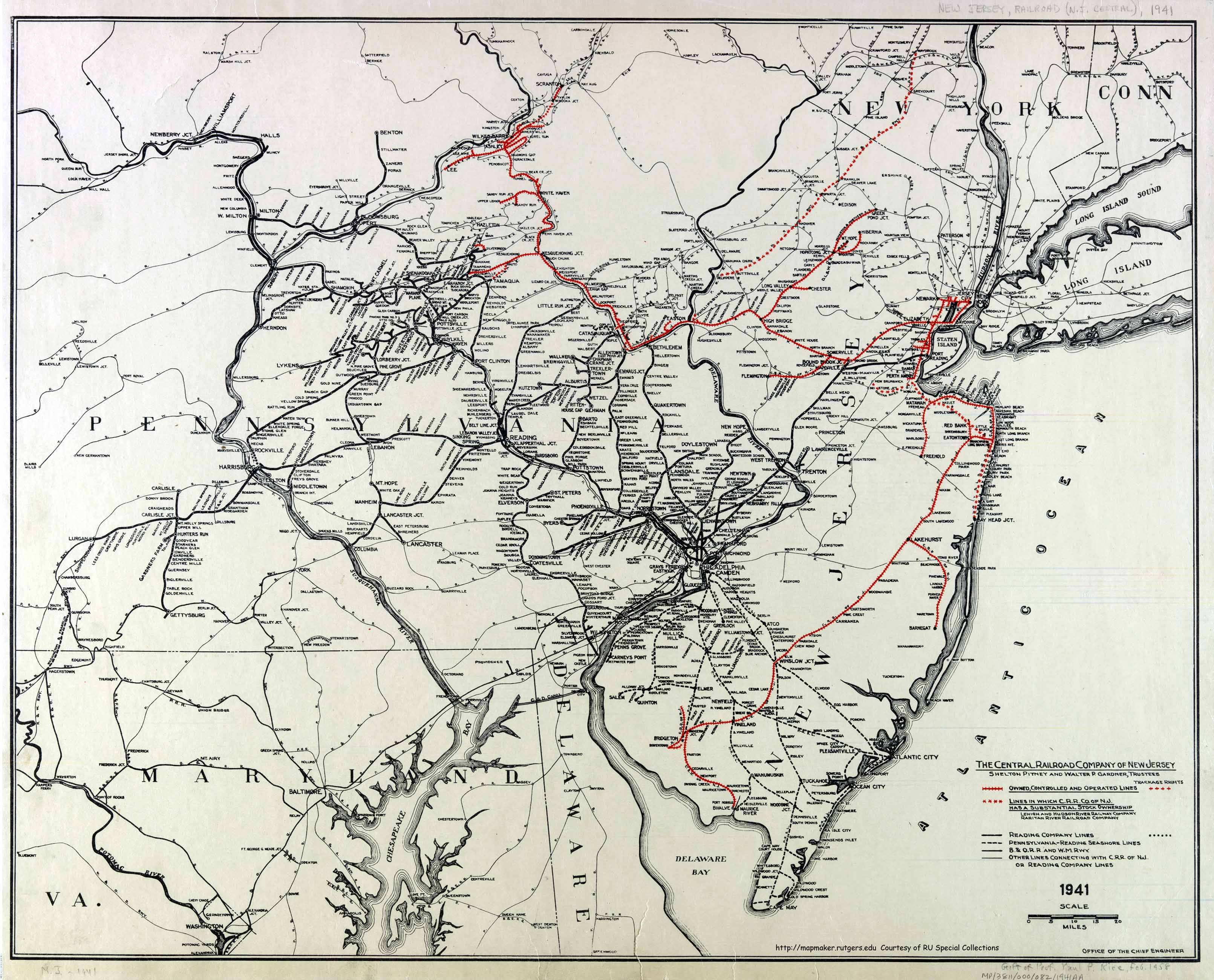
- ↑ Office of the Chief Engineer (1941). The Central Railroad Company of New Jersey (Map). Central Railroad of New Jersey. Retrieved October 4, 2015.
This article is issued from Wikipedia - version of the 6/9/2016. The text is available under the Creative Commons Attribution/Share Alike but additional terms may apply for the media files.