Sharon, New Jersey
| Sharon, New Jersey | |
|---|---|
| Unincorporated community | |
 | |
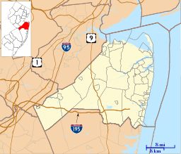  Sharon, New Jersey  Sharon, New Jersey  Sharon, New Jersey Location of Sharon in Monmouth County Inset: Location of county within the state of New Jersey | |
| Coordinates: 40°12′23″N 74°32′10″W / 40.20639°N 74.53611°WCoordinates: 40°12′23″N 74°32′10″W / 40.20639°N 74.53611°W | |
| Country |
 United States United States |
| State |
 New Jersey New Jersey |
| County | Monmouth |
| Township | Upper Freehold |
| Elevation[1] | 118 ft (36 m) |
| Time zone | Eastern (EST) (UTC-5) |
| • Summer (DST) | EDT (UTC-4) |
| GNIS feature ID | 880506[1] |
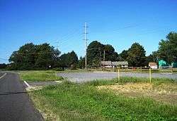
Sharon is an unincorporated community located within Upper Freehold Township in Monmouth County, New Jersey, United States.[2] Located at the intersection of Herbert Road and Sharon Station Road, the settlement is the site of a former stop on the Pemberton and Hightstown Railroad.[3][4] Except for a few single-family homes in the area, most of the area is farmland.[5] The railroad has since been abandoned and is being converted to the Union Transportation Trail, a rail trail. Sharon is the current northern terminus of the trail.[6]
See also
- New Sharon, New Jersey - Nearby settlement
References
- 1 2 "Sharon". Geographic Names Information System. United States Geological Survey.
- ↑ Locality Search, State of New Jersey. Accessed March 4, 2015.
- ↑ Mueller's Automobile Driving and Trolley Map of Mercer County, New Jersey (Map). A. H. Mueller. 1918. Retrieved September 12, 2015.
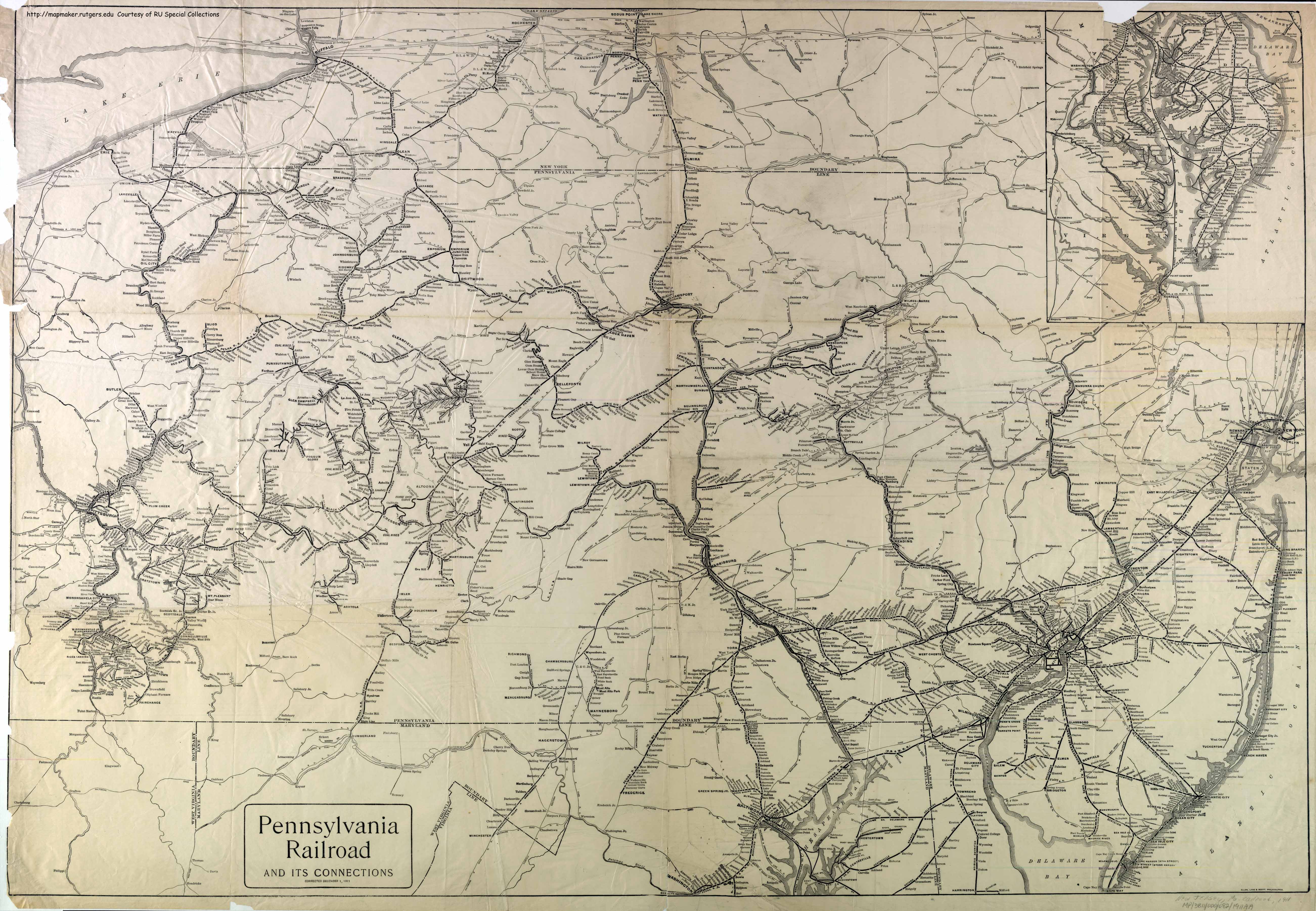
- ↑ Pennsylvania Railroad and Its Connections (Map). December 1, 1911. Retrieved September 12, 2015.
- ↑ Google (September 12, 2015). "Aerial view of Sharon" (Map). Google Maps. Google. Retrieved September 12, 2015.
- ↑ "Map of Union Transportation Trail" (PDF). Monmouth County Park System. February 2015. Retrieved September 12, 2015.
This article is issued from Wikipedia - version of the 6/10/2016. The text is available under the Creative Commons Attribution/Share Alike but additional terms may apply for the media files.