Port Moorowie, South Australia
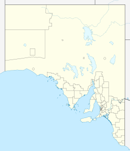
Port Moorowie is a small settlement in the Australian state of South Australia on the south coast of Yorke Peninsula. It has relatively calm beaches and a boat ramp on McLeod Harbour at the western end of Waterloo Bay in Investigator Strait.[4] The town is predominantly a collection of holiday houses and shacks.
References
- ↑ "Goyder electorate boundaries as of 2014". ELECTORAL COMMISSION SA. Retrieved 23 July 2015.
- ↑ "Federal electoral division of Grey" (PDF). Australian Electoral Commission. Retrieved 24 July 2015.
- 1 2 3 4 5 6 7 8 "New Ward Structure 2014". Yorke Peninsula Council. Retrieved 21 October 2015.
- ↑ "Port Moorowie UNPATROLLED BEACH". beachsafe.org.au. Surf Life Saving Australia. Retrieved 18 July 2014.
|
|---|
|
| Major Townships | |
|---|
|
| Minor Townships | |
|---|
|
| Governance | |
|---|
|
| Coastal features | |
|---|
|
| Protected areas | |
|---|
|
| Islands adjoining the Yorke Peninsula coast | |
|---|
|
| Related and uncategorised | |
|---|
|
|