Sunny Vale, South Australia
| Sunny Vale South Australia | |||||||||||||
|---|---|---|---|---|---|---|---|---|---|---|---|---|---|
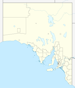  Sunny Vale | |||||||||||||
| Coordinates | 34°08′S 137°49′E / 34.14°S 137.82°ECoordinates: 34°08′S 137°49′E / 34.14°S 137.82°E | ||||||||||||
| Postcode(s) | 5552[1] | ||||||||||||
| Time zone | ACST (UTC+9:30) | ||||||||||||
| • Summer (DST) | ACDT (UTC+10:30) | ||||||||||||
| Location | 108 km (67 mi) NW of Adelaide city centre | ||||||||||||
| LGA(s) | Yorke Peninsula Council[2] | ||||||||||||
| State electorate(s) | Goyder[3] | ||||||||||||
| Federal Division(s) | Grey[4] | ||||||||||||
| |||||||||||||
| Footnotes | Adjoining localities[2][5] | ||||||||||||
Sunny Vale or Sunnyvale was a small town in the Australian state of South Australia situated about 10 km south west of Kainton in the upper Yorke Peninsula, consisting mostly of a schoolhouse and Methodist church. Farms nearby were owned by the Lamshed families.[6]
See also
References
- ↑ "Sunnyvale Postcode". Australian Postcode Search. Retrieved 21 October 2015.
- 1 2 "New Ward Structure 2014". Yorke Peninsula Council. Retrieved 21 October 2015.
- ↑ "Goyder electorate boundaries as of 2014". ELECTORAL COMMISSION SA. Retrieved 23 July 2015.
- ↑ "Federal electoral division of Grey" (PDF). Australian Electoral Commission. Retrieved 24 July 2015.
- ↑ "Development Plan, Copper Coast Council, Consolidated – 28 August 2014" (PDF). Department of Planning, Transport and Infrastructure. 2014. pp. 286 & 394. Retrieved 23 October 2015.
- ↑ "Manning index of South Australia". State Library of South Australia. Retrieved 9 October 2015.
This article is issued from Wikipedia - version of the 6/25/2016. The text is available under the Creative Commons Attribution/Share Alike but additional terms may apply for the media files.